Most people searching for the best Joomla extensions for Geotagging, Maps, and Locations. Recently some of my readers asked me to give them a shot list of some Joomla extensions to add maps and locations to their websites. That’s why I am going to share this exclusive article about free extensions to add geotagging, maps, and locations to your Joomla website. Hope you will really love and enjoy this great review about free Joomla extensions.
With Geo-Tagging, we usually get longitude and latitude coordinates, but they may contain place names, accuracy data, distance, bearing, and altitude. Here’s the showcase of Joomla extensions to get Geo information while you are using the Joomla platform.
Best Joomla Extensions for Geotagging
It’s an ultimate collection of the best and most free Joomla extensions for Geotagging, Maps, and Locations. You can check out the following list of free Joomla extensions to add geotagging or maps to your Joomla websites.
1. Hotspots Pro
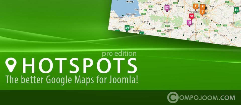
Hotspots is a highly configurable Google Maps marker manager released for Joomla! developed by compo room. HotSpots supports multiple & nested categories with different icons for your locations (markers). How do you know if HotSpots is good for you?
Features:
- multiple images upload per location with gallery display
- able to handle 100k or 1M locations thanks to custom tiles + server-side boundary method (check our demo we have 90k locations!)
- styled maps support
- weather, traffic, transit, bicycle, Panoramio layers, and more.
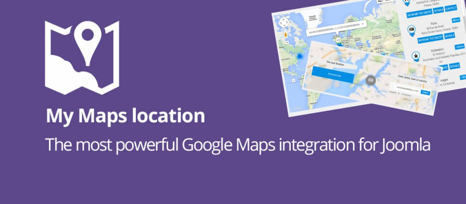
2. My Maps location
My Maps Location load automatically how far the visitor is from you, a shop, or any location that you have located. With My Maps Location, it’s possible to select location, record, categorize and display locations on a global Map or as a listing.
Features:
- Responsive design and bootstrap integration
- 3 themes: with a header, full width, and sidebar
- Point your location directly on Google Maps or use predictive search
- Automatically filled in location information (latitude and longitude)
- Display multiple places on a single map and more.
3. Linky Map
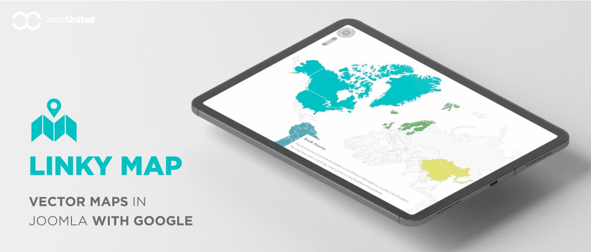
Linky Map easily creates your map, adds a marker or region, adds tooltips, and an HTML sidebar. It is using data from Google Geochart to generate a map with a custom marker, region colored, tooltips, and an HTML sidebar. You can create a hundred custom maps even more. All the world, all the regions are included. You can add parameters on each map and have different views of the same country with, for example, a UK map with a region or marker.
4. Nearest Places

With Nearest Places, you can show the nearest places via your Joomla article. You can assign each article to its coordinates, longitude, and latitude, then it will show you the nearest articles with distances. If you want to develop a tourist website using Joomla, then it is best for presenting a list of metro stations, museums, monuments, POI, beaches, villas, and hotels.
5. ContentMap
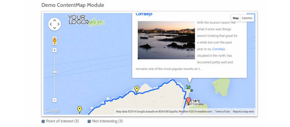
ContentMap has the article parameters to insert geo coordinates. You won’t have to insert some code in the editor, because the map will automatically be displayed at the bottom of the article.